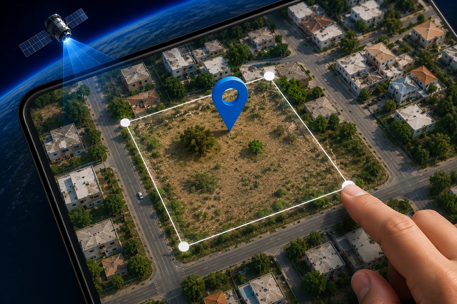
Step 1
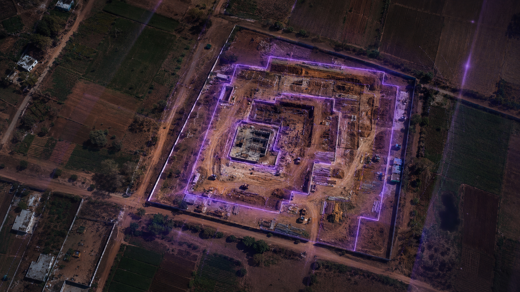
Mark Your Land
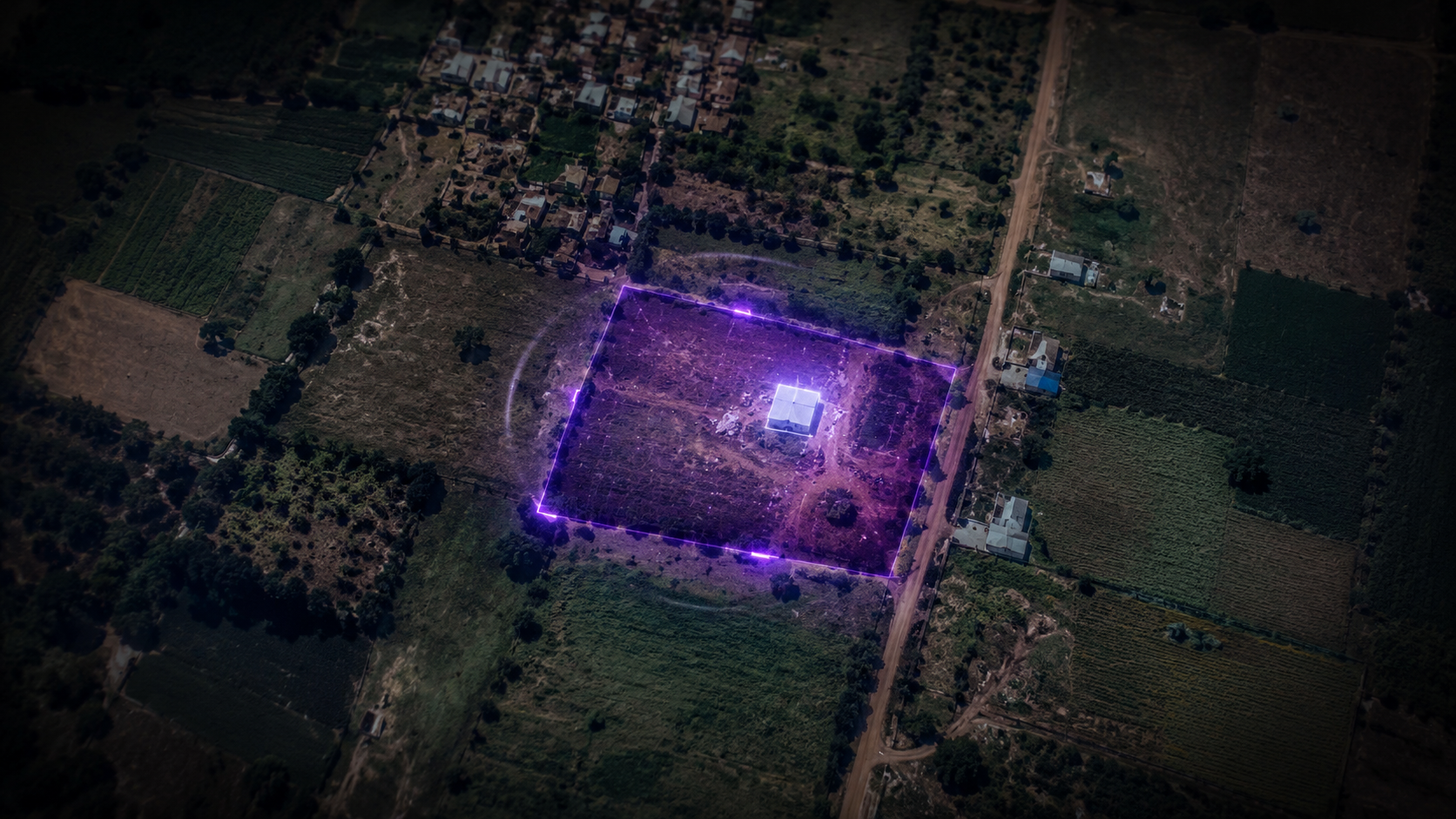
Draw or pin your property location securely inside NILAMorbit™.

Inspired by India’s Space Leadership
NILAMorbit™ was officially introduced and its identity unveiled by Padma Shri awardee Dr. Mylswamy Annadurai, widely known as the “Moon Man of India” for his leadership in India’s Chandrayaan and Mars missions.
During a special interaction at his Bengaluru residence, Dr. Annadurai unveiled the NILAMorbit™ logo and shared valuable guidance on the future of satellite intelligence, geospatial technologies, and technology-driven monitoring for land and infrastructure protection.
With over 36 years at ISRO and leadership across India’s landmark space missions, his encouragement marks an important milestone in NILAMorbit™’s journey toward building the future of remote land and infrastructure intelligence across India.

Recently Honored
Recognised at THE NEXT TECH 1.0 – AI Summit 2026 by Masters’ Union School of AI

Featured In
“No more la-la land” — the August 2026 special feature on how location intelligence is opening up land records. Vol 05, Issue 08.
Satellite Land Protection
NILAMorbit™ combines satellite monitoring, AI-powered change detection, land intelligence, and on-ground verification to help protect properties across India.
Live Land Watch
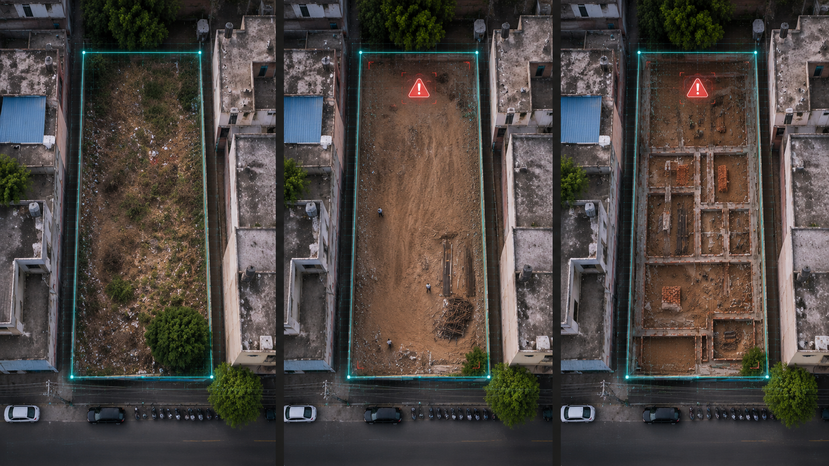
Satellite-based change visibility
Before visible risk becomes a legal dispute.
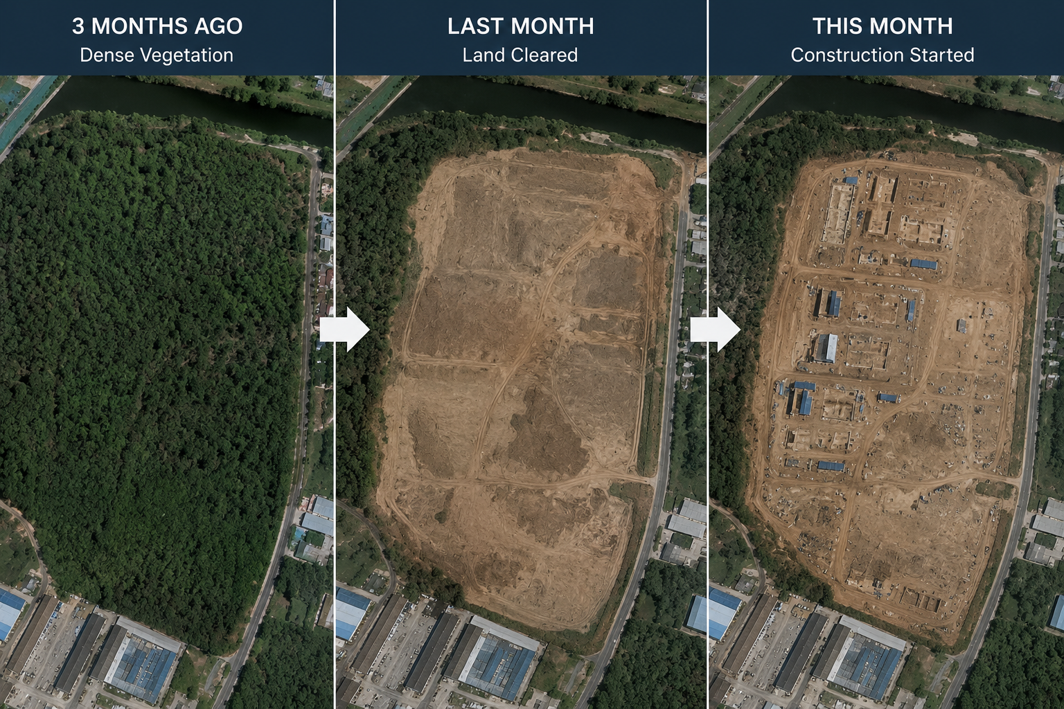
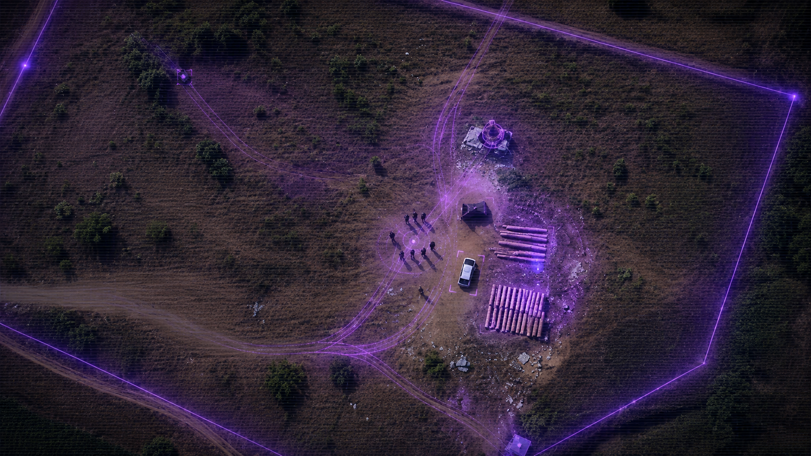
A monitored land parcel can show new structures, clearing, fencing, or unusual activity before owners find out too late.
Land Visibility Layer
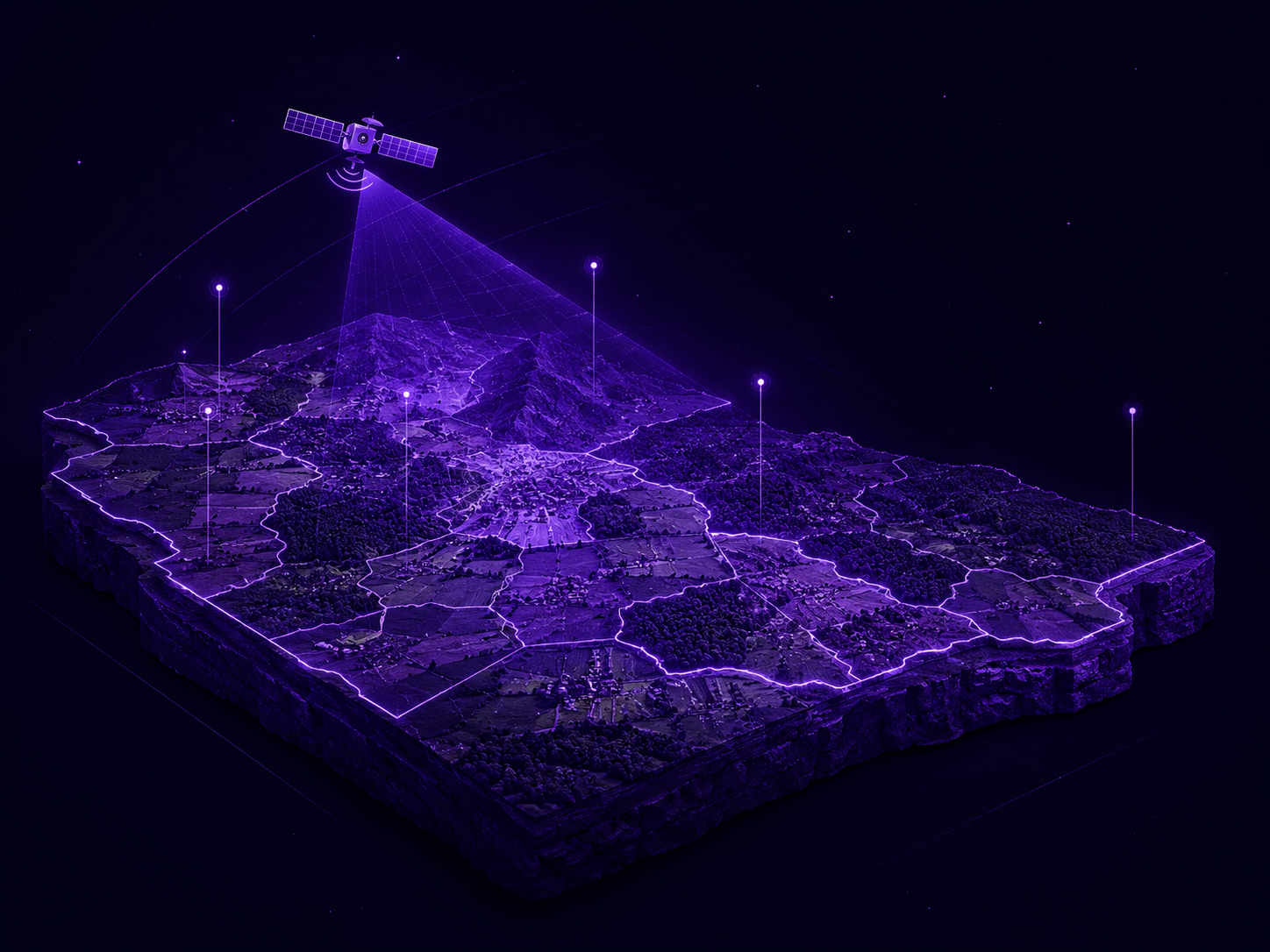
Remote property monitoring
Do not discover land problems after the damage is done.
Satellite intelligence helps identify visible land changes before they become disputes or expensive reversals.
The Problem
Most owners find out about encroachment, construction, or misuse only after damage has already happened.
Satellite monitoring helps owners see visible land changes earlier, before small activity becomes a serious dispute.

Orbiting Above. Protecting Below.
Advanced satellite monitoring built to identify changes, risks, and development activity on your land.
Step 1
Draw or pin your property location securely inside NILAMorbit™.

Step 2
NILAMorbit™ continuously watches your land using satellite intelligence and AI analysis.
Step 3
Our system compares imagery over time to identify visible land or activity changes.

Step 4
Receive notifications and updates whenever significant changes are detected.
Satellite Monitoring
How it works
NILAMorbit™ uses multi-spectral satellite imagery captured at regular intervals. Our AI compares each new image against historical data to flag any visible change on your land automatically.
Where it is used
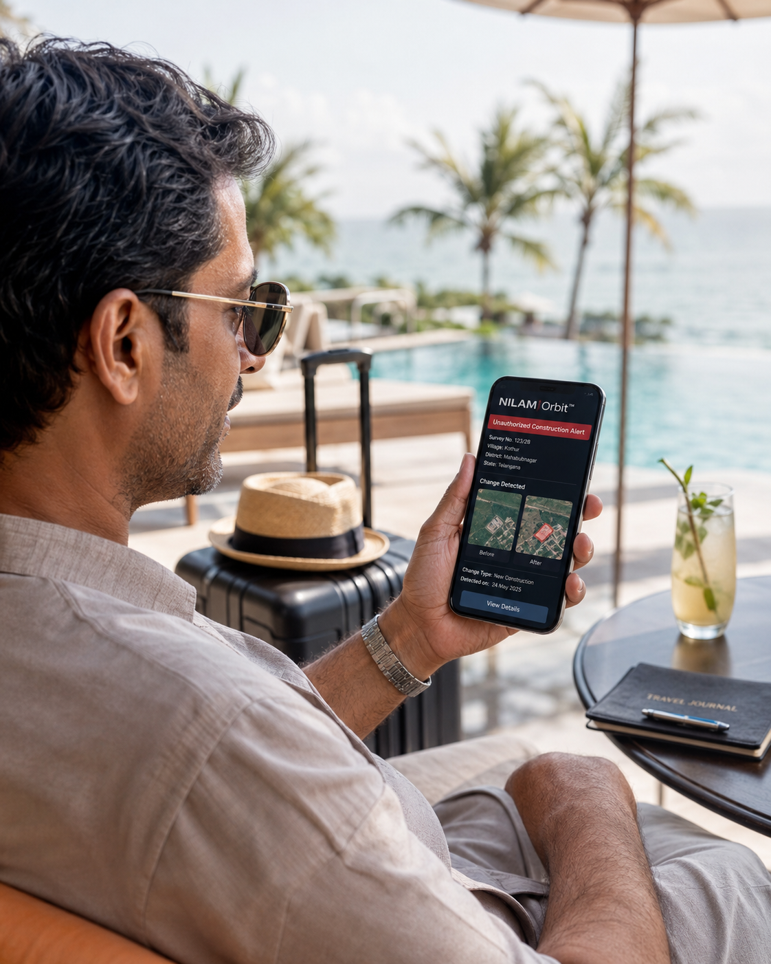
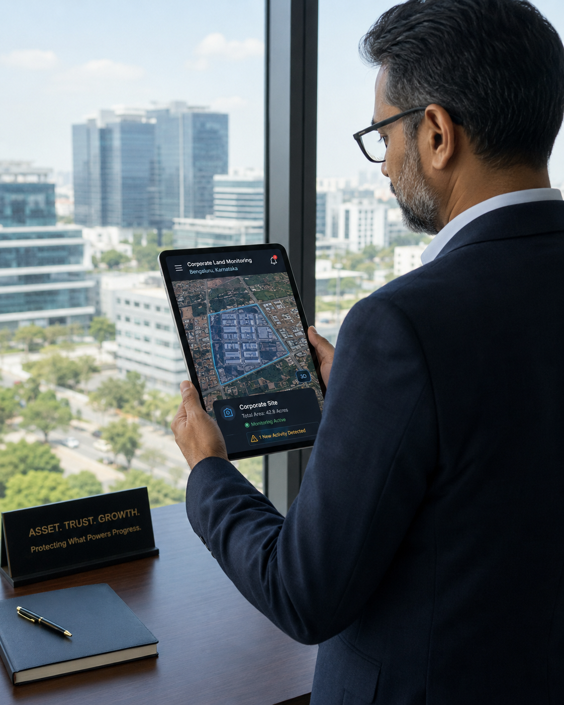
Agricultural plots, residential layouts, commercial land, NRI-owned properties across India — anywhere you need eyes on land you cannot physically visit often.
Why it is useful
Encroachments, unauthorized construction, and land-use changes often go unnoticed until they become legal or financial problems. Satellite monitoring catches them early.
Types of monitoring
Compares satellite images over time to spot any visible change on your land — new structures, cleared vegetation, or boundary shifts.
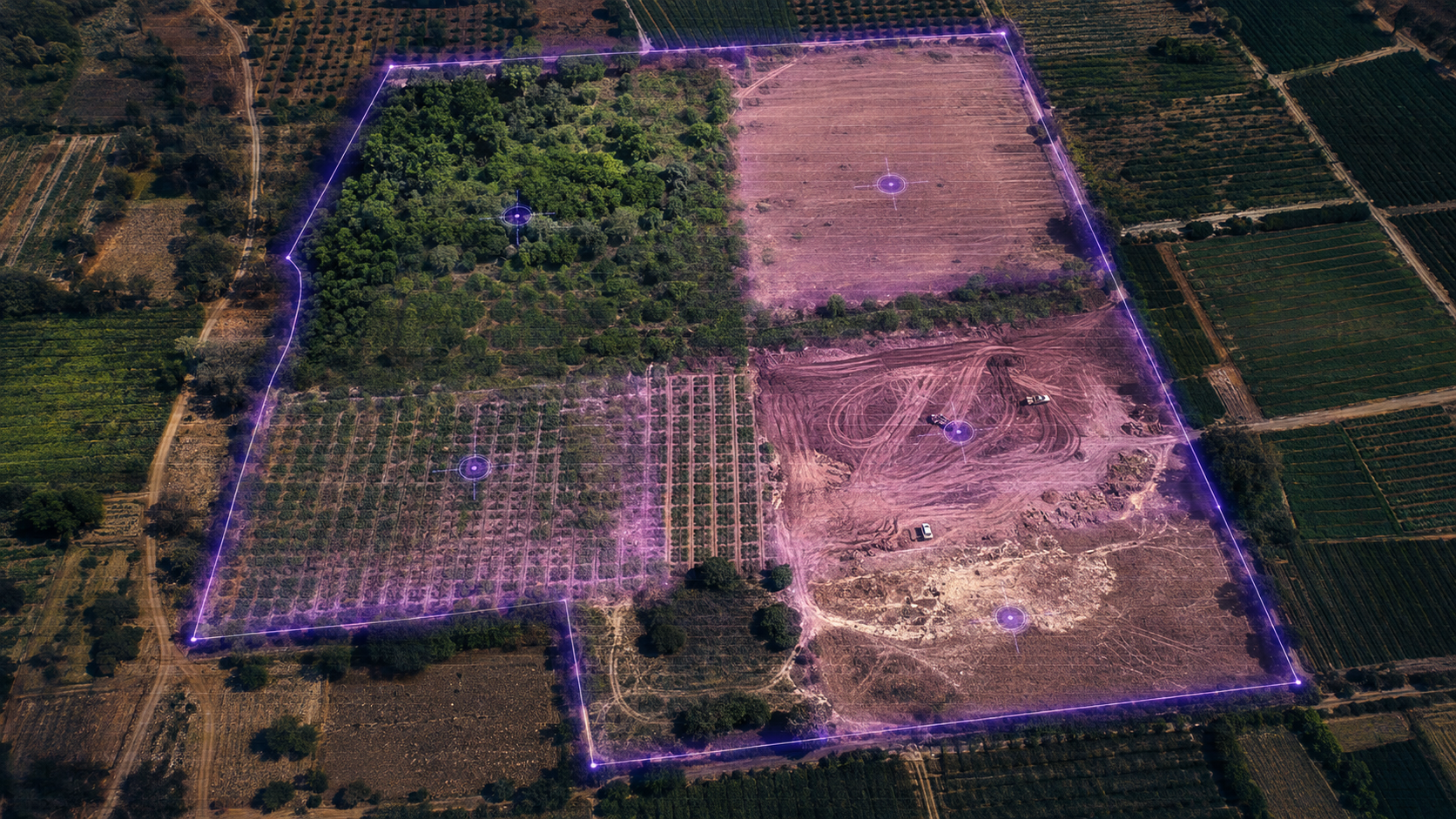
Tracks green cover, crop health, and land-use changes using spectral analysis — useful for agricultural and forest land owners.
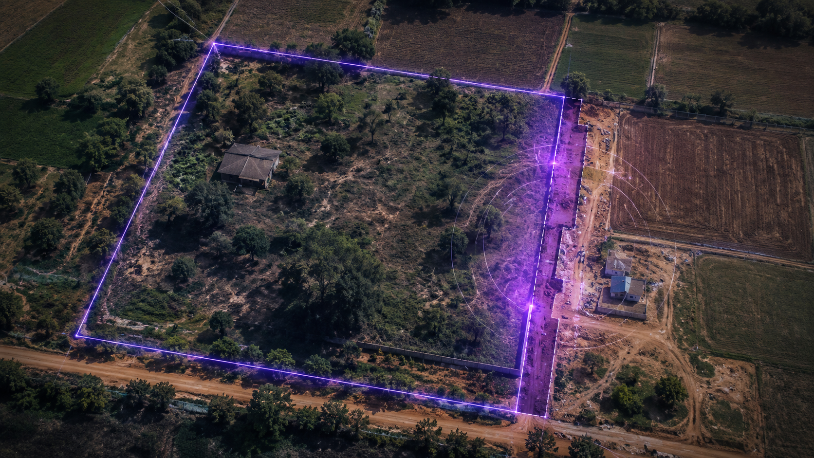
Watches the edges of your property for encroachments, fence removal, or unauthorized access along the perimeter.
Monitors active construction zones to track progress or detect unauthorized building activity on or near your land.
Early Access Registration
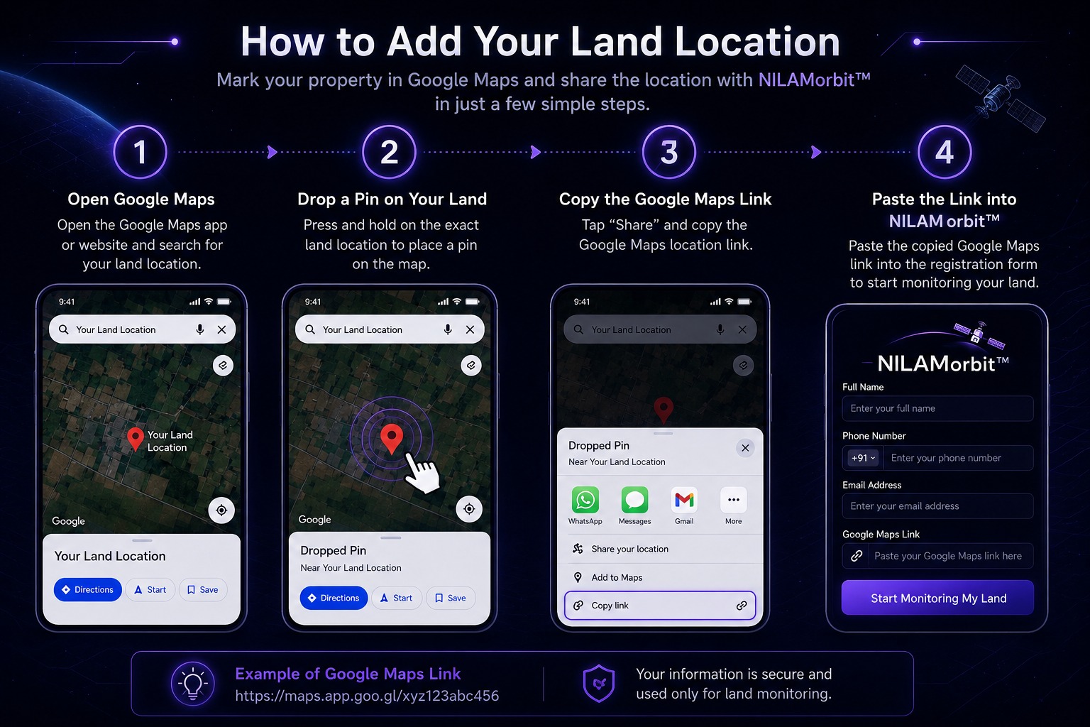
Share your contact details and the Google Maps link for the land you want monitored.
Add Google Maps Link
Paste the Google Maps link for the land location you want monitored.
Answer a few simple questions. We will email the report and a brief summary after submission.
500+
Inspections
1,65,220+
Sq. Ft. Covered
100+
Risk Reports
Who NILAMorbit™ is built for


What NILAMorbit™ watches for
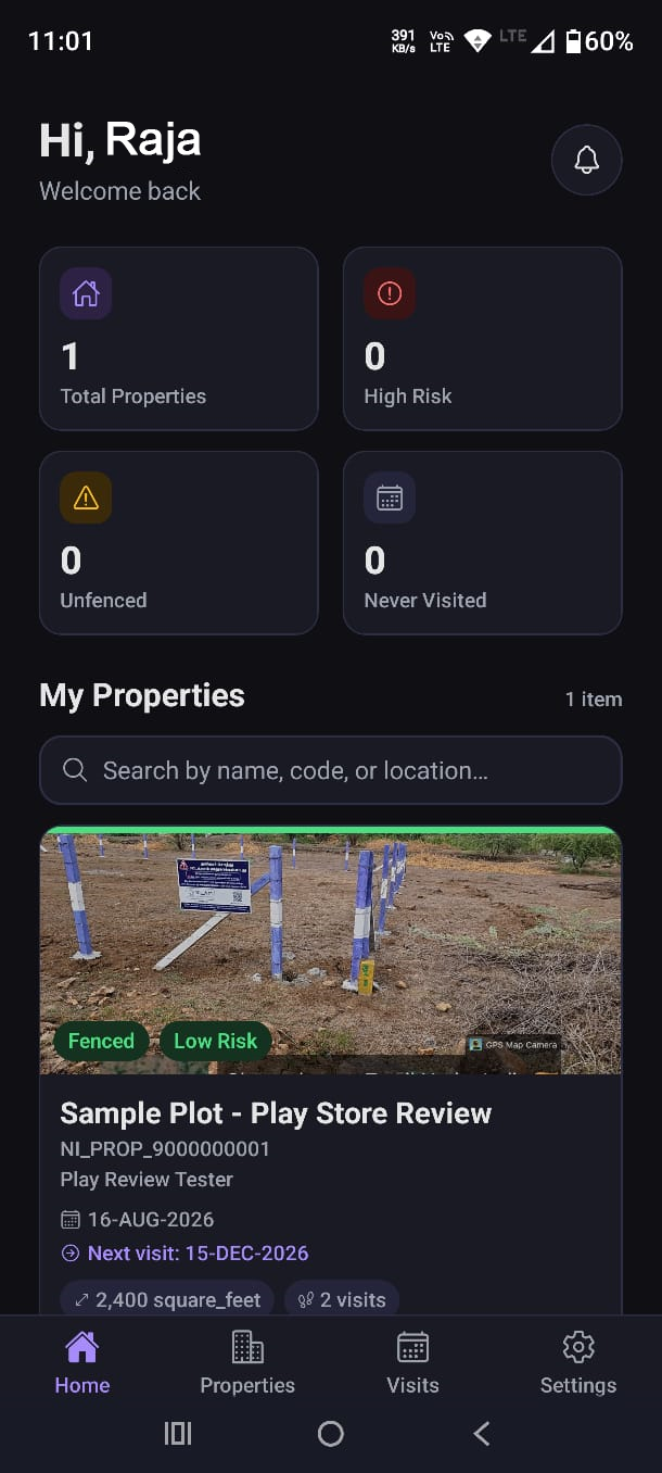
Nilam Insights App
Track your properties, visit reports, photos and risk alerts, right from your phone.